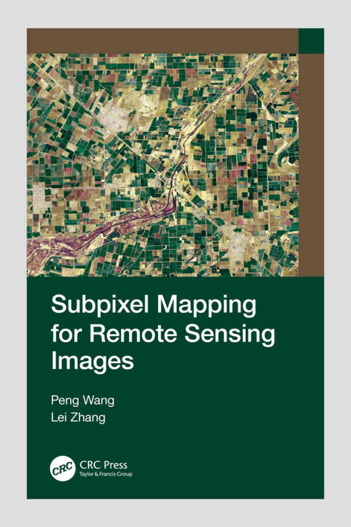
Subpixel Mapping for Remote Sensing Images, 1st Edition eBook
$30.00
. Subpixel mapping is a technology that generates a fine resolution land cover map from coarse resolution fractional images by predicting the spatial locations of different land cover classes at the subpixel scale.
Digital edition, delivered to your inbox within 24 hours of payment. No shipping, no delivery charge.
About this eTextbook
. Subpixel mapping is a technology that generates a fine resolution land cover map from coarse resolution fractional images by predicting the spatial locations of different land cover classes at the subpixel scale. This book provides readers with a complete overview of subpixel image processing methods, basic principles, and different subpixel mapping techniques based on single or multi-shift remote sensing images.
Step-by-step procedures, experimental contents, and result analyses are explained clearly at the end of each chapter. Real-life applications are a great resource for understanding how and where to use subpixel mapping when dealing with different remote sensing imaging data. This book will be of interest to undergraduate and graduate students, majoring in remote sensing, surveying, mapping, and signal and information processing in universities and colleges, and it can also be used by professionals and researchers at different levels in related fields.
ISBNs for Subpixel Mapping for Remote Sensing Images are 9781000820751, 1000820750 and the print ISBNs are 9781032229386, 1032229381. Additional ISBNs include 9781003279082, 9781032245225, 9781000820744.
Publication details
- Author: Peng Wang; Lei Zhang
- Publisher: CRC Press
What you receive
- A licensed digital edition of this title, supplied as PDF or EPUB. The format is set by the publisher, so email us the ISBN before ordering and we will confirm which one it is.
- Delivered to the email address on your order as a secure download link, usually within minutes and always within 24 hours of payment.
- Download links do not expire and there is no cap on re-downloads. Readable on any computer, tablet or phone, online or offline.
- This is a digital edition. Nothing is printed, packed or posted, and there is no delivery charge.
Delivery
Free on every order. This is a digital edition. Nothing is printed, packed or posted, so there is no delivery charge, no minimum order and no handling fee. The only thing added at checkout is 5% sales tax, shown on its own line before you confirm.
- Sent to the email address on your order, as a secure download link.
- Usually within a few minutes of payment clearing.
- Guaranteed within 24 hours, including weekends and holidays.
- Links do not expire and there is no cap on re-downloads.
- Delivered worldwide. No customs charge or import duty can arise.
Format. Titles are supplied as PDF or EPUB, set by the publisher. If the format matters to you, email us the eText ISBN before ordering and we will confirm which it is, normally the same business day.
Nothing arrived? Check your spam and promotions folders first. If it is not there 24 hours after payment, email us your order number and we will resend it. Full detail on the Delivery Policy.
Refunds
A digital file cannot be posted back, so there is no return process. There are situations that are refundable and situations that are not, and both are stated plainly.
Refunded in full, within 30 days of the order:
- The file is corrupt, truncated, or will not open in a reader that supports its format.
- Content is missing from the edition you were sold.
- The wrong title was delivered.
- The edition, eText ISBN, author or format does not match this page.
- You were charged twice for the same title.
- Nothing was delivered and we cannot reissue it.
Not downloaded yet? Cancel within 14 days for a full refund, no reason needed.
Not refundable: a title you downloaded and then decided you did not want, a file that does not suit your device where we did not say it would, buying the wrong edition when this page stated it correctly, and publisher printing or copy limits.
Approved refunds are issued within 2 to 5 business days to the card that paid. Full detail on the Returns & Refund Policy.
Payment
Checkout runs on Stripe. We accept Visa, Mastercard, American Express, Discover and JCB, credit or debit. That list is complete. No account is needed; guest checkout is available on every order.
What you are charged: the price on this page, plus 5% sales tax. Delivery is $0.00. There is no handling fee, no processing fee and no card surcharge. The order summary shows the full total before you confirm, and that figure is what leaves your account.
Nothing recurring. One charge per order. No subscription, no membership, no trial that converts, no saved-card auto-billing.
Security. Card numbers never reach us. Payment details are entered into fields hosted by Stripe, a PCI DSS Level 1 provider. We can see only the card brand, the last four digits and whether the payment succeeded. The whole site runs over HTTPS.
Prices are in US dollars. A card issued outside the United States is converted by your own bank at its own rate. Full detail on the Payment Policy.
About this eTextbook
. Subpixel mapping is a technology that generates a fine resolution land cover map from coarse resolution fractional images by predicting the spatial locations of different land cover classes at the subpixel scale. This book provides readers with a complete overview of subpixel image processing methods, basic principles, and different subpixel mapping techniques based on single or multi-shift remote sensing images.
Step-by-step procedures, experimental contents, and result analyses are explained clearly at the end of each chapter. Real-life applications are a great resource for understanding how and where to use subpixel mapping when dealing with different remote sensing imaging data. This book will be of interest to undergraduate and graduate students, majoring in remote sensing, surveying, mapping, and signal and information processing in universities and colleges, and it can also be used by professionals and researchers at different levels in related fields.
ISBNs for Subpixel Mapping for Remote Sensing Images are 9781000820751, 1000820750 and the print ISBNs are 9781032229386, 1032229381. Additional ISBNs include 9781003279082, 9781032245225, 9781000820744.
Publication details
- Author: Peng Wang; Lei Zhang
- Publisher: CRC Press
What you receive
- A licensed digital edition of this title, supplied as PDF or EPUB. The format is set by the publisher, so email us the ISBN before ordering and we will confirm which one it is.
- Delivered to the email address on your order as a secure download link, usually within minutes and always within 24 hours of payment.
- Download links do not expire and there is no cap on re-downloads. Readable on any computer, tablet or phone, online or offline.
- This is a digital edition. Nothing is printed, packed or posted, and there is no delivery charge.
Related products

Featured Titles

Featured Titles


Featured Titles

Featured Titles

Featured Titles

Featured Titles